A frequently asked question during our tours is: How big is Bonaire? The answer to that question is as simple as it is uninformative: 112 square miles (288 km2). In this article, we will extensively address this query. We will start with a lot of numbers, but it will become much more comprehensible when we compare the surface area of Bonaire to that of other well-known vacation islands. Finally, we delve into how our guests perceive the size of Bonaire. Because of its versatility, the island feels much larger than it actually is.
Sharing Island Love
Thank you for your interest in our beautiful island in the Caribbean! We love sharing our passion for Bonaire with everyone — locals, visitors, and of course, with our guests during Our tours. Curious how we do that? You can find all the details in Sharing Island Love.
With Island Love,![]()
Do you want to experience the versatility of Bonaire yourself? Explore the four corners with us during The Perfect Day Trip on Bonaire. Enjoy the azure blue sea in the west, the green hills in the north, the spectacular cliff coast in the east, and the pink salt flats in the south.
Want to get away from the crowds? Check out our other tours.
Onderwerpen
Text continues below…


How Big is Bonaire in Distances?
So, Bonaire is 288 km2 (112 squire miles) in size. The distance between the northernmost and southernmost points is 35 km (22 miles) in a straight line, but when following the curvature of the island, it’s closer to 40 km (25 miles). Bonaire is approximately 5 to 11 km (3-7 miles) wide.
From the capital city, Kralendijk, you can drive to the village of Rincon, which is located in the north of Bonaire, in just under half an hour. That’s a distance of about 17 kilometers (10 miles). In the same amount of time, you can drive to the south of the island. In the north of Bonaire, you will find the Washington-Slagbaai National Park, which is a little over 20 kilometers (12 miles) from Kralendijk. It takes about half an hour to get there. From Kralendijk, which is situated in the west, you can reach the east coast in about 15 minutes, covering a distance of approximately 8 kilometers (5 miles).
Expressed in distances, the island doesn’t seem very large. Both the south and north of the island are reachable from Kralendijk within just half an hour, and the east can be reached in about 15 minutes.

In Perspective: How Big are Other Popular Vacation Islands?
To provide some perspective on the size of Bonaire, we will compare it to other popular vacation islands.
Comparing Bonaire With the Other Leeward and Windward Islands
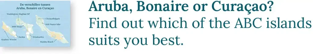
For those who have visited other islands in the Caribbean part of the Kingdom of the Netherlands, we will compare Bonaire to the Leeward and Windward Islands. Discover the other Differences between Aruba, Bonaire, and Curaçao as well!

Compairing Bonaire to European Vacation Islands
In comparison to the giants of the Mediterranean, such as Corsica, Sardinia, Sicily, and Crete, Bonaire pales in size. However, Bonaire can still hold its own when compared to the smaller European vacation islands.

Comparing Bonaire to the Greek Islands
Greece is the European paradise of vacation islands. Below, you will see Bonaire placed next to popular Greek islands such as Kos, Corfu, and Rhodes.

Comparing Bonaire to Popular American Islands
Americans also enjoy visiting the beautiful islands within their own country during their vacations. Below, we place Bonaire among some of these islands, such as Martha’s Vineyard, Key West, and O’ahu in Hawaii.

How Do Visitors Perceive the Size of the Island?
During our off-road tours, we often hear from our guests that they didn’t expect Bonaire to be so big. Where does this sense of grandeur that our visitors experience come from?
The Island of Vistas
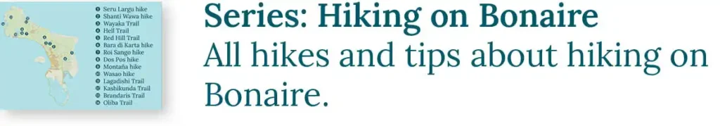
Bonaire has an interesting geology. The island is comprised of a collection of limestone terraces on a base of magmatic rock. Throughout all our tours, we extensively discuss the formation of this beautiful combination. In this article, we primarily focus on the greatest advantage that Bonaire’s geology offers: Vistas. A magnificent viewpoint over the island is never far away, not to mention the breathtaking seascapes that Bonaire possesses. This abundance of vantage points makes Bonaire appear larger than it actually is. The most viewpoints are covered in our blog series Hiking on Bonaire.

Text continues below…

The Versatility of Bonaire
A second reason why Bonaire seems much larger is the diversity of landscapes that this small island harbors. Lakes, beaches, mountains, valleys, cliffs, forests, lagoons, plains, mangroves, salt flats, cliff coasts, and dunes – we have it all! During our tours, we gratefully embrace this diversity by exploring as many different areas as possible. Upon request and during our day tours, we also love to take a dive into the rich underwater world!

The Off-Road Island
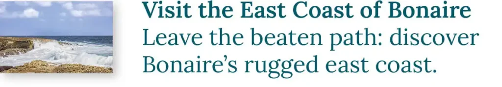
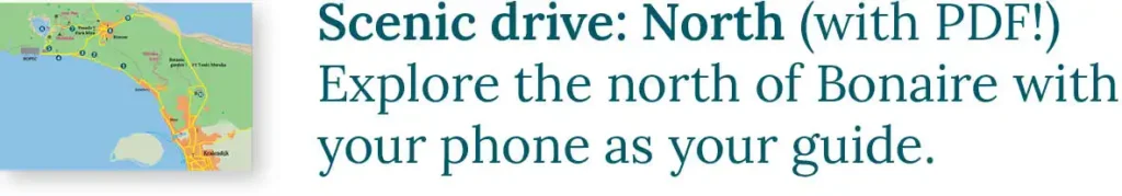
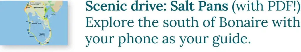
The final reason why Bonaire feels so vast is due to the abundance of roads on the island. Almost every nook and cranny is accessible. Think of the Scenic Drive to the North and the Scenic Drive to the Salt Pans, two popular road trips over asphalt. However, most roads are off-road, particularly on The East Coast of Bonaire. These routes lead through stunning areas that remain hidden from the asphalt. During our tours, we gladly take advantage of these off-road paths. Additionally, there are numerous hiking trails where you can enjoy the rich nature and unique landscapes. We love to explore those with you as well!

Text continues below…

An Excursion with HopiBonaire
During a tour with HopiBonaire, you will embark on a discovery journey to the most remote and beautiful spots of Bonaire. Moreover, you will be traveling only with your own group, ensuring an intimate and personalized experience at your own pace. We don’t rush, taking the time to fully enjoy the journey!
All our tours can be tailored to your preferences, and there’s the option to book a fully customized tour. If you’ve become enthusiastic and would love to join the adventure, check out our offerings of our tours.
Read more?